
South Jordan Neighbor Block Coverage
The immediate block has several layers. GIS identifies legal adjacency. The Assessor supplies parcel and owner-account detail. The Recorder traces instruments, plats, and easements. CityView can show address-linked municipal activity. Voter data supplies precinct and district geography, while civic pages identify public groups and contacts. Each layer answers a different question.
| Source | What it shows about a block | Access |
|---|---|---|
| South Jordan GIS | Adjacent parcels, subdivisions, ZIP, boundaries, zoning, flood, parks | Interactive map |
| Salt Lake County Assessor | Parcel ID, situs, owner label, property type, visible tax detail | Free query |
| County Recorder | Deeds, plats, easements, releases, prior parties | Public locator, paid depth |
| CityView | Permit, code, planning, engineering, property workflows | Dynamic portal or GRAMA |
| County and state elections | Precinct, district, voter fields subject to protection | Maps, lookup, paid data |
| Committees and civic pages | Public participation and neighborhood-watch contacts | Official pages |
A strong neighbors result says which layer produced each fact. It does not treat a map, owner account, public meeting, or voter field as a complete block roster.
Select a South Jordan Neighbor Parcel
Enter the address in the county Assessor query or locate it through the South Jordan Find page. Save the situs address, parcel ID, subdivision or lot, legal description, property type, and date checked. The parcel is the subject of the block lookup. A person’s name should appear only when a dated public record associates that person with the parcel or civic event.
Keep the mailing address separate. It may be outside the parcel. A company, trust, or estate can be the owner label. If the intent is to find one person rather than the adjacent parcels, use the South Jordan resident lookup path and require more than a name match.
Turn On South Jordan Neighbor Layers
The South Jordan CityView legend lists current parcels, subdivisions, ZIP Codes, 100-year and 500-year flood zones, parks, public and institutional ownership categories, RDA/EDA/CDA areas, future land use, zoning, pavement, code compliance, Daybreak, and city boundary. Turn on parcels and subdivisions first. Then add only the geographic layer that helps explain the question.
Map adjacency means a shared parcel boundary. It does not mean everyone on the same street, in the same ZIP, or inside the same planned area is a neighbor. Daybreak, Towne Center, Riverpark/Office, Harvest Village, and The District are useful civic or development labels, not automatic legal neighborhoods.
Capture South Jordan Neighbor Parcel IDs
Zoom to the subject parcel and note every adjoining parcel ID. The county Assessor’s first seven parcel-ID digits can return a block set, while the first ten identify the base parcel and an optional last four identify an encumbrance. Use the prefix as a shortcut, then verify the street and geometry one parcel at a time.
| Map identity | Subject parcel, adjacent parcel, shared boundary, subdivision, city and ZIP relationship. |
|---|---|
| Assessor identity | Parcel number, site address, owner label, property type, visible fields, date checked. |
| Recorder identity | Instrument, party roles, type, date, book/page or document number. |
| Boundary context | ZIP, city, precinct, district, park, flood, zoning, or Daybreak layer. |
Use “unknown” or “not public” when the map or portal does not show a field. Do not infer a person from a business name, a map category, or a nearby address.
Compare South Jordan Neighbor Parcels
For each adjacent parcel, run the Assessor search and record the situs, owner label, parcel ID, property type, acreage or value fields if visible, and mailing address if shown. The county property record reflects a tax account. It does not establish current occupancy. The distinction matters when one neighbor parcel is held by an LLC or when owner mail goes to another city.
The Assessor’s detailed query supports owner name, frontage number, directional, street name or number, type or direction, and parcel ID. Its first-three-letter owner rule, last-name-first format, partial street search, sortable result, and printable view are useful for a block sweep. Preserve the query date so a later change is not mistaken for an old result.
Follow South Jordan Neighbor Plats
The Recorder can explain why adjacent parcels relate. Search by parcel or address, then look for PLAT, SUB TR, DEDIC, EASEMT, ROW, COVNT, RESTRICT, VACATE, release, trust, or subdivision instruments. A plat can establish lot lines. An easement can explain shared access. A dedication can explain public right-of-way. These are land and filing clues, not a list of the people using a driveway.
The Recorder’s online search reaches a 1941 entry, while older digitization toward 1850 remains a project goal. For older books, plats, or copies, contact the Recorder at 2001 S State Street N1-600, Salt Lake City, 385-468-8145. Ordinary copies are $2 per page, historic copies $5 per page, and certification adds $5. Request the index, book/page, document type, and party names when known.
Add South Jordan Neighbor Geography
Geographic context can help explain a block without naming people. ZIP 84095 and 84009 follow postal geography, while the city GIS boundary follows municipal geography. Flood zones describe mapped risk areas. Zoning and future land use describe planning categories. Parks, pavement, and code-compliance layers describe public context. None is a resident directory.
ZIP 84009 began July 1, 2015 west of Bangerter Highway after splitting from 84095. Old records can use the former ZIP. A South Jordan block can also cross a precinct or city-council district. Keep these labels in separate columns when comparing parcels.
Open the South Jordan boundary service before reading the neighbor map capture.
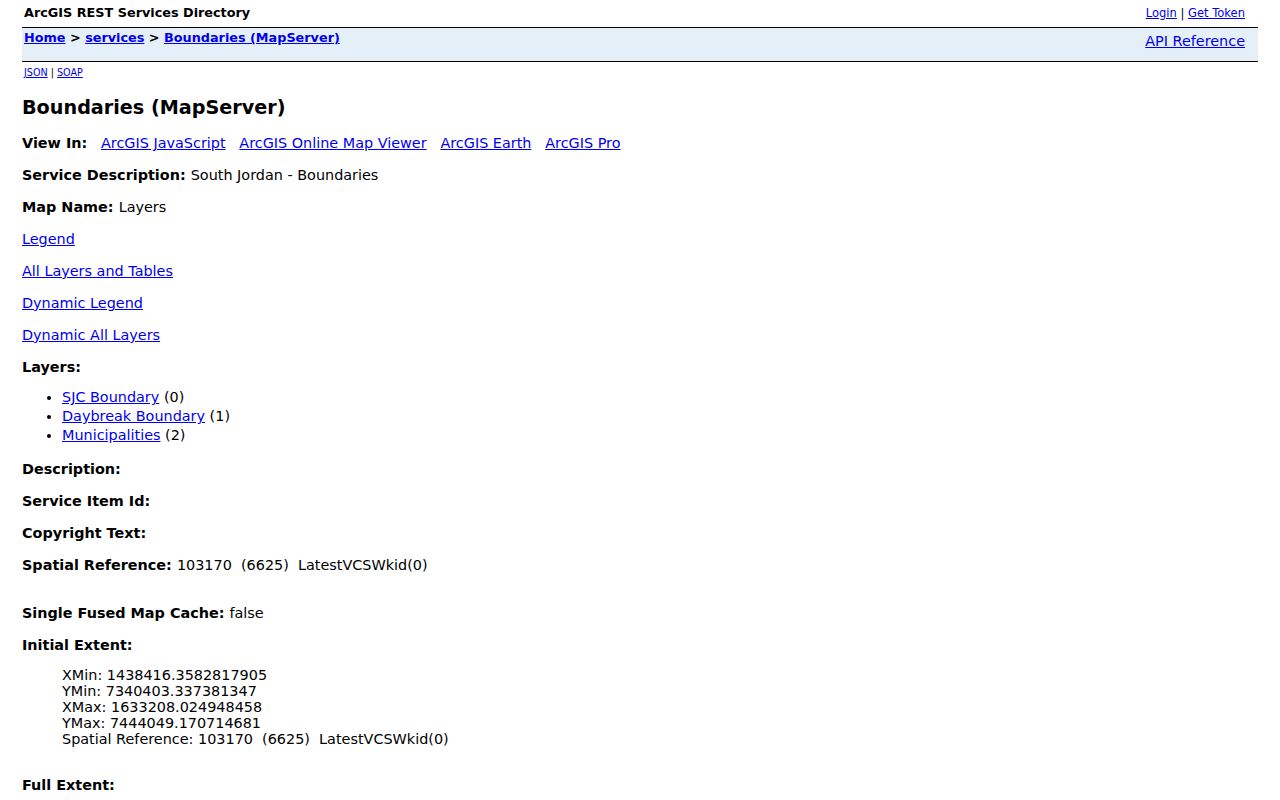
The boundary-service capture reinforces the need to check city and ZIP layers separately. A boundary layer can frame the block without identifying a household.
Check South Jordan Neighbor City Records
South Jordan CityView lists Property Information search, Building application and search, Engineering application and search, Planning permit applications, Code Enforcement case search, and Business Licensing routes. A known address, case number, permit number, or date makes a GRAMA request more precise when the portal does not show enough. Dynamic result fields were not fully exposed in the research capture.
A city record may name an applicant, owner, contractor, complainant, or contact where that field is lawfully public. It does not prove that the named person lives next door. The city’s public-records form can request inspection, copies, an online response, or a fee waiver under Utah GRAMA, with conditional ID or authorization for restricted Police, Fire, or Medical material.
Use South Jordan Neighbor Voter Geography
Salt Lake County Elections maps and Utah voter data can add precinct, district, and municipal geography. South Jordan municipal districts are labeled 1 through 5. A voter lookup uses a name, birth date, street, city, and ZIP, while the paid statewide file can include address, county, precinct, districts, party, status, and vote history. At-risk records may be anonymized or withheld.
For a block question, use the boundary map or aggregate fields rather than reconstructing a list of names. A voter result is a registration-system match at the time searched, not proof that every voter or neighbor is present.
Find South Jordan Civic Neighbors
South Jordan’s official Committees & Boards page names the Arts Council, Senior Advisory Committee, Youth Council, Healthy South Jordan Coalition, Historic Preservation Committee, and Planning Commission. The city’s Neighborhood Watch starter page explains a way for neighbors to coordinate with police. These pages offer public participation routes and contact leads.
No complete public directory of private neighborhood associations or member households was located. Daybreak is identified in city economic-development and GIS material as a planned community, but a private association roster was not located in official city sources. Mark the member layer as not public instead of implying that a civic page lists every neighbor.
What South Jordan Neighbor Maps Cannot Tell
A map cannot reveal every current occupant, renter, guest, protected voter, or person who uses a nearby road. The Assessor can be delayed. The Recorder is an index, not a title guarantee. CityView records have department limits. Safe at Home participants receive substitute addresses, and Utah voter privacy rules protect identity fields. A missing name is not proof of absence.
Privacy boundary. Use a neighbor lookup for lawful personal research, family history, property context, or civic information. Never use a public address or name to stalk, harass, threaten, or harm another person.
For a full named-street chain, use the South Jordan Street Directory. For a single person, keep the search in the resident lookup workflow. The block method begins with a parcel and ends with a clear statement of what each public layer can and cannot support.