
Walk One South Jordan Street
A practical street directory search follows an address through separate local systems. Begin with the county Assessor, then use the parcel ID to make the same place legible in GIS and the Recorder. Add municipal records only when a permit, inspection, code case, or planning event answers the question. A voter result can test one name and address pair, but it does not create a full list of the households along the road.
The workflow keeps ownership, geography, civic registration, and history apart. That matters in South Jordan, where the situs address, mailing address, legal description, ZIP layer, and older street spelling may not match.
- Enter the frontage number and street name in the Assessor query, or begin with the first seven parcel-ID digits when a block search is useful.
- Open South Jordan GIS and turn on parcels, subdivisions, ZIP, and city-boundary layers.
- Carry each parcel ID into the Recorder’s public search and record the grantor, grantee, type, date, and book/page or entry.
- Check CityView or a GRAMA request for an address-linked permit, code, engineering, or planning record.
- Use the voter lookup or historic reverse directory only for the narrow question it can answer.
That address chain is the core of a useful street directory. It is also the point where a broad people search should become a focused record search.
South Jordan Street-Record Map
Several record sets can be searched by street, but their output is not interchangeable. The Assessor describes a county tax parcel. The Recorder indexes filed instruments. GIS shows spatial relationships. CityView routes municipal cases. The voter system uses a registered address, and a historic directory preserves a publisher’s printed association at one date.
| Record set | Keeper | Street-level result | Access |
|---|---|---|---|
| Assessor query | Salt Lake County | Owner label, parcel, situs, tax detail | Free portal |
| GIS parcel layers | South Jordan | Parcels, subdivisions, ZIP, boundaries | Interactive map |
| Deed and instrument index | County Recorder | Parties, types, dates, legal clues | Public locator and paid depth |
| CityView | South Jordan departments | Permits, code, engineering, planning | Dynamic portal or GRAMA |
| Voter search | Utah Elections | One registration match and districts | Individual lookup |
| Historic directories | Libraries and archives | Printed occupant or business clue | Digital and in person |
Use the table as a routing key. The same street can appear under separate city, ZIP, precinct, subdivision, and legal-description labels. Preserve all of them when a record trail crosses decades.
Find South Jordan Street Parcels
The detailed Salt Lake County Assessor search puts the most useful street controls in a fixed order. “Frontage Number” means the street number. “Street Name or Number” accepts partial or like values. Direction and street type can refine the match. Owner search uses at least three letters and the format “Last Name, First Name.”
| Owner name | Optional, at least three letters, Last Name, First Name. |
|---|---|
| Frontage Number | Street number, with or without a street name. |
| Dir. | Directional component shown by the portal. |
| Street Name or Number | Partial street value for a broader set. |
| Type or Direction | Street type or trailing direction. |
| Parcel ID | First 10 digits, optional last four for an encumbrance; seven digits can return a block. |
The first seven parcel digits are a helpful South Jordan block shortcut. Still, inspect each returned situs address and property type. A parcel record can name an LLC or trust, show an owner mailing address elsewhere, and say nothing about who currently occupies the structure.
Open the South Jordan Find page before reviewing the parcel map capture below.
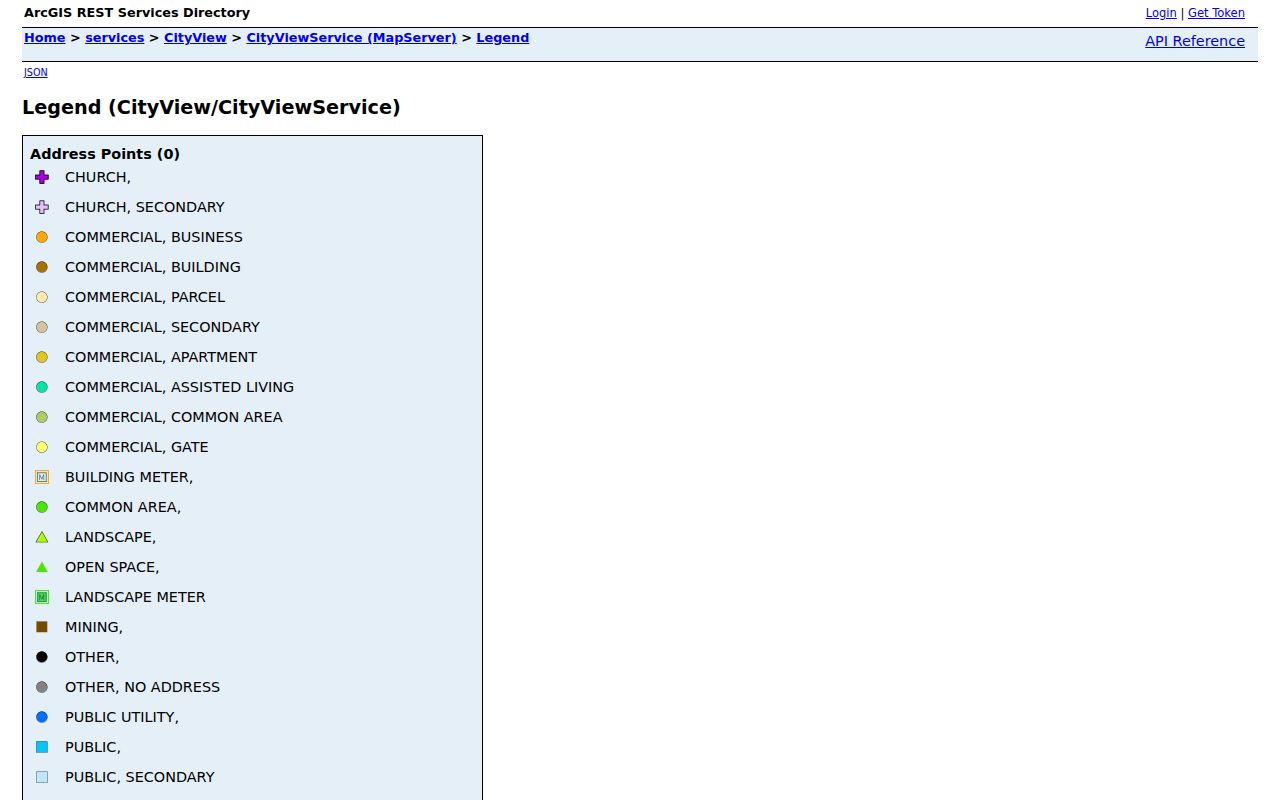
The South Jordan GIS legend capture shows the layers that can be paired with the county result. Parcel geometry is the bridge from a street search to the adjacent-parcel question.
South Jordan Street Address Identity
A situs address is the physical location used to map a parcel. A mailing address is where tax or owner correspondence goes. A legal description uses subdivision, lot, or metes-and-bounds language. These three identities can point in different directions without indicating an error.
- Situs address
- The physical site address attached to the county parcel.
- Mailing address
- The address used for owner or tax correspondence, which may be elsewhere.
- Parcel ID
- The county identifier used to carry a property across related searches.
- Plat
- A recorded map that lays out lots, streets, easements, or subdivision changes.
- Criss-cross directory
- A reverse printed section arranged by address or street rather than only by surname.
For an old South Jordan street, copy the source spelling instead of silently modernizing it. The legal description and subdivision plat often provide a more stable bridge than the street number.
Read South Jordan Street GIS Layers
South Jordan’s CityView legend lists current parcels, subdivisions, ZIP codes, flood zones, parks, public and institutional ownership categories, RDA/EDA/CDA areas, future land use, zoning, street pavement, code compliance, Daybreak, and the city boundary. Turn on only the layers that answer the question. A ZIP overlay explains postal geography. A parcel layer explains adjacency. A zoning layer explains land use context.
The map is not a real-time list of residents. Ownership categories should not be rewritten as current occupants, and a map label is not a deed. Pair the parcel click with the Assessor, then use the Recorder for an instrument and date.
South Jordan’s growth makes the map useful. Daybreak, Towne Center, Riverpark/Office, Harvest Village, The District, and the I-15 Corridor are planning or development labels, not universal neighborhood names. Keep those civic geographies separate from ZIPs and legal parcel boundaries.
Follow a South Jordan Street Through Deeds
The Recorder’s public search uses address or parcel autocomplete and an agreement checkbox. It is an index and property locator, not a title search. Deeper Data Services access supplies owner-of-record information, parcel-number history, legal descriptions, recorded documents, tract indexes, chain-of-title material, subdivision maps, and plats. The 24-hour login costs $5; searches, pages, and maps use separate units.
Online search reaches at least the March 1, 1941 entry at Book 262, page 1, Entry 899028. Older vault material is part of a digitization goal toward 1850, not a promise that every book is online. Common categories include WD, QCD, MTGE, LIEN, PLAT, SUB TR, EASEMT, TRUST, DEATHC, DIVORC, DEDIC, RESTRICT, ROW, and VACATE. Read the type before deciding what an entry means.
Read the Recorder copy-request instructions before using the image below.
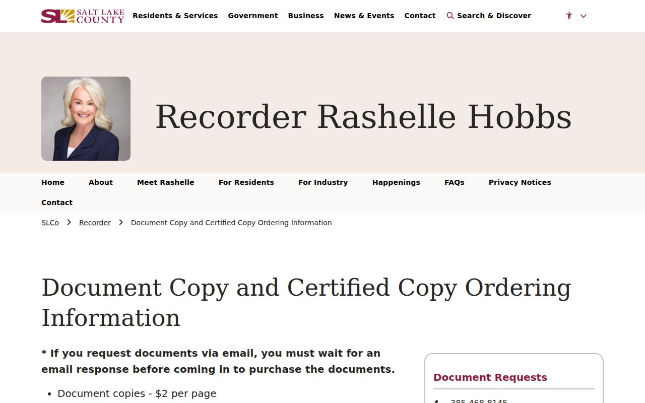
The copy-request capture marks the fallback when an index identifies a useful book, page, party, or instrument but an image is not available. Ordinary copies are $2 per page, historical copies $5 per page, and certification adds $5.
South Jordan Permits by Address
South Jordan’s Building Department routes applications and inspections through CityView. The public landing page lists code-enforcement case search, building application and search, submittal uploads, engineering and planning routes, business licensing, and property information search. These are address and project workflows, not a resident roll. Public fields can differ by department, and the unattended research did not expose a complete result schema.
The county property detail may show a building-permit indicator, construction characteristics, finished basement area, garage area, grade, percent complete, and update or detail year. These fields can flag physical change but do not replace a permit file. If the address, permit number, or date is known, make a narrow CityView or city GRAMA request.
Note: A permit date marks an application or physical change; it does not prove that an applicant lived at the address.
South Jordan Street ZIP and Precinct
South Jordan streets can carry 84095 or 84009, while voter records add precinct and district labels. ZIP 84009 was introduced July 1, 2015 west of Bangerter Highway after splitting from the 84095 delivery area. The old ZIP remained accepted during a one-year transition. A pre-2015 directory or deed correspondence may therefore show 84095 for a place now written 84009.
County election maps and the state voter file provide political geography, not a complete street roster. A street or ZIP can cross city-council, school, county, or precinct edges. Preserve the label from each source and do not substitute one boundary for another.
Historic South Jordan Street Listings
Post-1924 Polk directories use reverse or “pink page” sections to move from an address to a printed occupant association. South Jordan-specific suburban titles are located for 1966–70 and 1972–74. Salt Lake County Archives reports city-directory holdings from 1958–1983 and some later volumes to 1999. The University of Utah, Utah Historical Society, and Salt Lake City Public Library are other access points.
A directory entry is a dated snapshot. It may show a name, occupation, residence, rooming or boarding notation, and street address. It can include a renter or household member, while a deed usually names parties to an instrument. Use the South Jordan directory book page when the goal shifts from a current street chain to the historical shelf.
South Jordan’s 84009 Address Quirk
The 2015 ZIP split is more than a postal footnote. It can create a false mismatch when a current address is compared with a directory, newspaper, tax letter, or family note from an earlier period. Search the current street and parcel first, then test the older ZIP exactly as printed. South Jordan’s old Gale label, Salt Lake County locality, rural route, and post-office wording may also appear in historical sources.
No official all-street renumbering or annexation schedule was located in the research. Until one is found, preserve both old and current forms and use legal description, subdivision plat, parcel geometry, and neighboring parcels to connect them.
What South Jordan Street Directory Cannot Show
A South Jordan street directory cannot prove that every household member, renter, guest, or current occupant is present. The Assessor reflects a property account. The Recorder reflects filed instruments. The voter system omits protected and at-risk records. CityView has department-specific access limits. Historic directories show a publisher’s dated print choice.
Privacy boundary. Use address records for a lawful personal purpose, family history, civic research, or property understanding. A public address is not permission to stalk, harass, threaten, or harm anyone.
When an online result stops, contact the custodian. Salt Lake County accepts GRAMA requests online, by email, mail, or in person. South Jordan’s public-records page and form route city material under Utah GRAMA. For a current person question, shift to the South Jordan resident lookup workflow and require independent anchors before treating a name as the right match.